Northern Tier States 4/20/21 - 8/7/21 (Click thru the "Newer Posts" at Bottom)
My current goal is to complete my travel through the entire Lower 48 states in my RV by the end of 2021. Since I've already covered 35 states, the number of states isn't the challenge, the size of the northwestern states and the required miles to drive are the challenge this year. I estimate that I'll need to leave about 5,000 miles under my tires before I'm done.
 |
| Sunset my first night, Roosevelt Lake, AZ |
After a truly wonderful winter in southern AZ, I headed first to CO to visit my eldest son, Allen IV, in Denver.
As I travel slowly and enjoy the journey, it took me from April 12 to the 20th, 8 days to meander almost 1,000 miles.
 |
| Those are hundreds of huge saguaro cacti on the island's slope. |
 |
| Kayak track on Roosevelt Lake |
My next stop was outside the tiny burgh of Rye, AZ where I stayed south avoiding the cold spell riding over CO as long as I could.
 |
| Dawn lit up the mountains my first morning in Rye. |
 |
See the snake in the center?
There was unlimited desert beauty as I bushwacked
towards the mountains, just wandering, no trails. |
 |
At the top of each crest, I took a panorama, as the still
shots don't seem to tell the story as well.
For the panorama, Click Here |
 |
After traversing down a steep hillside,
I found myself in this rocky gulch. |
 |
| These guys were over 10 feet tall! |
 |
The view from the furthest point that day, looking
toward my campsite. The RV is hidden below a distant hill. |
 |
| The first hike, bushwacking, no trails. |
 |
| The first hike had significant ups and downs. |
 |
The descent from 3340' to 3240' required
I traverse the steep slope several times. |
 |
My 2nd hike a couple days later was
longer but easier as I followed the road. |
 |
| The first hike is in blue, the 2nd hike in green. |
 |
| Data for the second hike. |
 |
| The photo was taken eastbound on I-40, west of Gallup, NM. |
Bright sun, swirling snow, misting rain and tremendous scenery as I moved north from Rye, AZ to ABQ. Lots of fun memories from my 66 on 66 in 66 last fall & winter. (66 days on Rt 66 in my 66th year.).
 |
| The mountains east of Santa Fe made for a striking change. |
 |
| The open high plains of northwest NM, heading north. |
 |
West Spanish Peak & East Spanish Peak,
looking west from Trinidad, CO. |
 |
Lots of cool, old stone buildings in Trinidad, CO,
including one adorned with my family name. |
 |
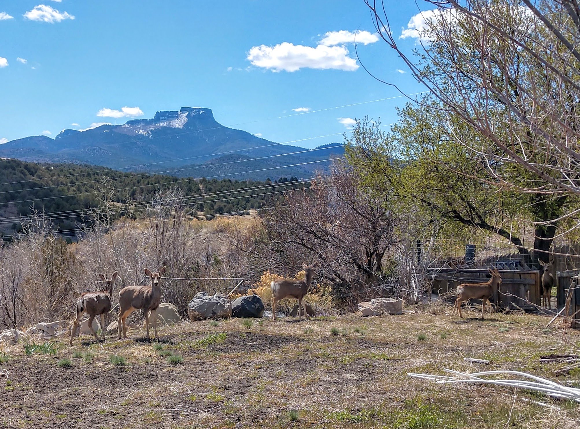
These five deer were hanging out behind the store
where the shop owner told me about Rt 12. |
 |
The shop owner, also a local councilman was
so enthusiastic about this side trip, I had to take it.
The Spanish Mountains as I approached them on CO Rt 12. |
 |
| Monument Lake, south of the pass. |
 |
| This is North Lake, still south of the pass. |
 |
Cucharas Pass at 9995 feet above sea level.
Photo courtesy of "Crosswald" (Google Maps)
from a year ago, very similar to what I saw. |
 |
East Spanish Peak is on your left, then West Spanish Peak
and Cucharas Pass is to your right
of West Spanish Peak. I took this pic from La Vets,
a small town at 7,037 feet elevation.
For a panoramic view, Click |
 |
No pics of a nice young man repairing my flat tire,
north of Colorado Springs, but here's the snow.
the cold weather with overnight temps
below freezing stayed with us for several days,
so I had to winterize the RV . . . for 1 week. 😞 |