|
This sign greeted me as I crested
Teton Pass coming from ID into Jackson, WY. |
June 21-24, 2021
Great bike ride June 22 morning, south of Jackson, WY then a very rough, bouncy, rocky, dusty, s-l-o-w climb to a campsite with one of the best views I've ever enjoyed! Kelly VI (my RV) & I at 7370 feet above sea level.
 |
| Jackson Hole Community Pathway |
 |
| Teton Pass into Idaho to the west |
 |
| Grand Teton Mountains to the northwest |
 |
| The view out my window looking north. |
 |
My campsite. If I walk more than two feet in any direction,
I'm going down a very steep slope. I'm glad the brakes work! |
 |
| Jackson Hole Ski Resort in the distance. |
 |
| Jackson Hole Ski Resort |
 |
| This is directly behind my RV. It's a steep drop in all directions. |
 |
| The view south through my doorway. |
 |
| The road to my campsite. |
 |
| Grand Tetons to the north |
 |
| The full moon as sunset approaches. |
 |
| Hail storm on the mountain |
 |
Those white dots on the ground are the
hail from a brief storm at 7300' elevation. |
 |
Snake River Overlook, Grand Teton NP. If you
zoom into the far right, you'll see a large river raft. |
Bison in Grand Teton National Park
 |
| Grand Tetons from Yellowstone, NP |
 |
Lewis River Canyon, Yellowstone, NP
for panorama, Click |
 |
| Yellowstone Lake from Nine Mile Post |
 |
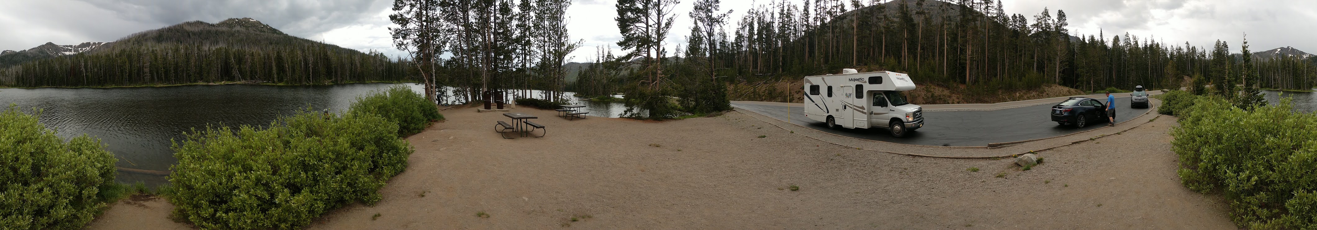
| Sylvan Lake, Yellowstone, NP |
 |
Sylvan Lake, Yellowstone, NP
for panorama, Click |
 |
Upper end of the canyon of the North Fork Shoshone River.
Just east through the Sylvan Pass at 8530'. |
 |
| Canyon of the North Fork Shoshone River |
For Facebook post,
Click